Skip to content

Jarad Ponce

Entrepreneur

  • Home
  • Posts
  • Contact

Tag: 2035 Space Infrastructure

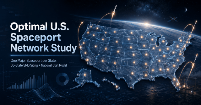
Title graphic for Optimal U.S. Spaceport Network Study, featuring an illuminated map of the United States with glowing spaceport nodes across all 50 states, interconnected network lines, multiple rocket launch trajectories, orbital imagery, and subtle infrastructure cost-model charts. The dark blue aerospace-themed design represents a proposed tiered national system of orbital, horizontal/reentry, and suborbital spaceports.
One Major Spaceport per State: 50-State SMS Siting + National Cost Model August 11, 2026

Search

Enter your email address to follow this blog and receive notifications of new posts by email.

Join 1 other subscriber
Powered by WordPress.com.
  • Subscribe Subscribed
    Jarad Ponce

    Have a WordPress.com account? Log in now.

  • Jarad Ponce
    View site in Reader
    Manage subscriptionsSign upLog in
    Report this content
    Collapse this bar